- Open geospatial data
- Procedural modeling
- Walking route guide
Ghibli Park 3D Study
A navigable, unofficial 3D park study built from public geographic data and procedural modeling.
- Scope
- Product planning, interface design, AI-assisted development and integration
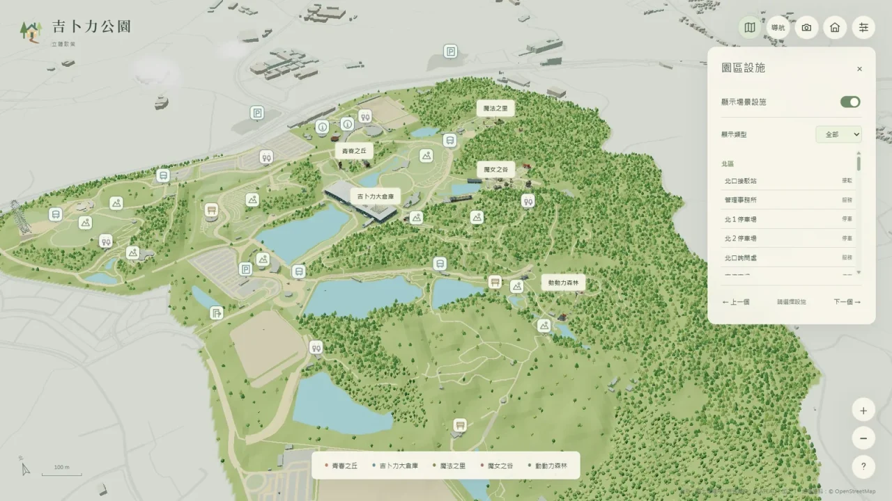
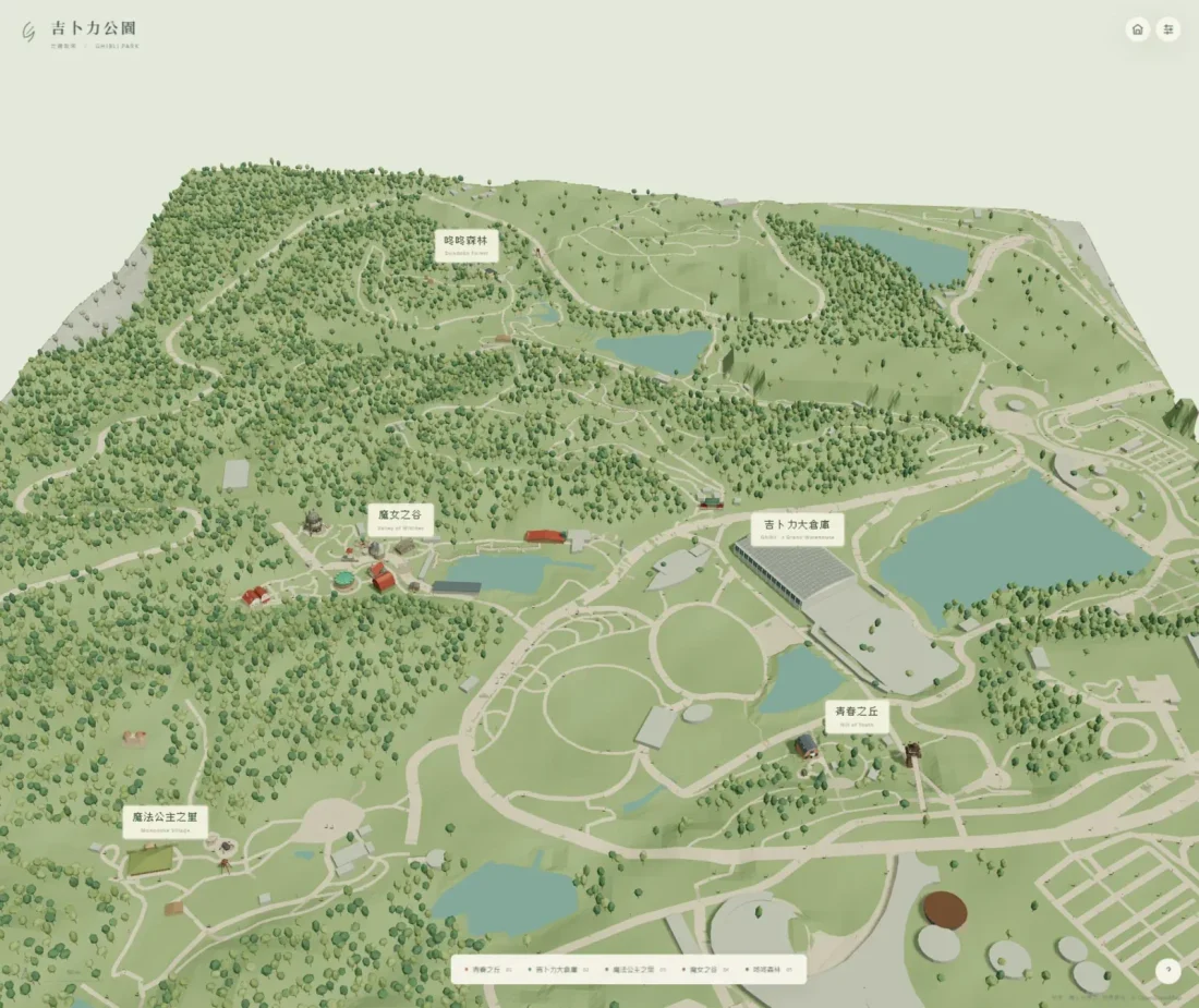
From park layout to landmarks
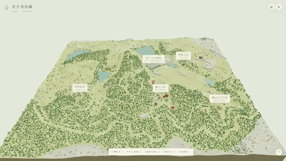
Terrain, roads, and building locations form the scene, while district navigation and landmark views make the large space understandable. This is an unofficial personal study; data credits for GSI, PLATEAU, and OpenStreetMap appear in the interactive demo.
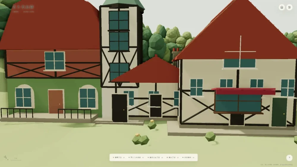
Park and building scales
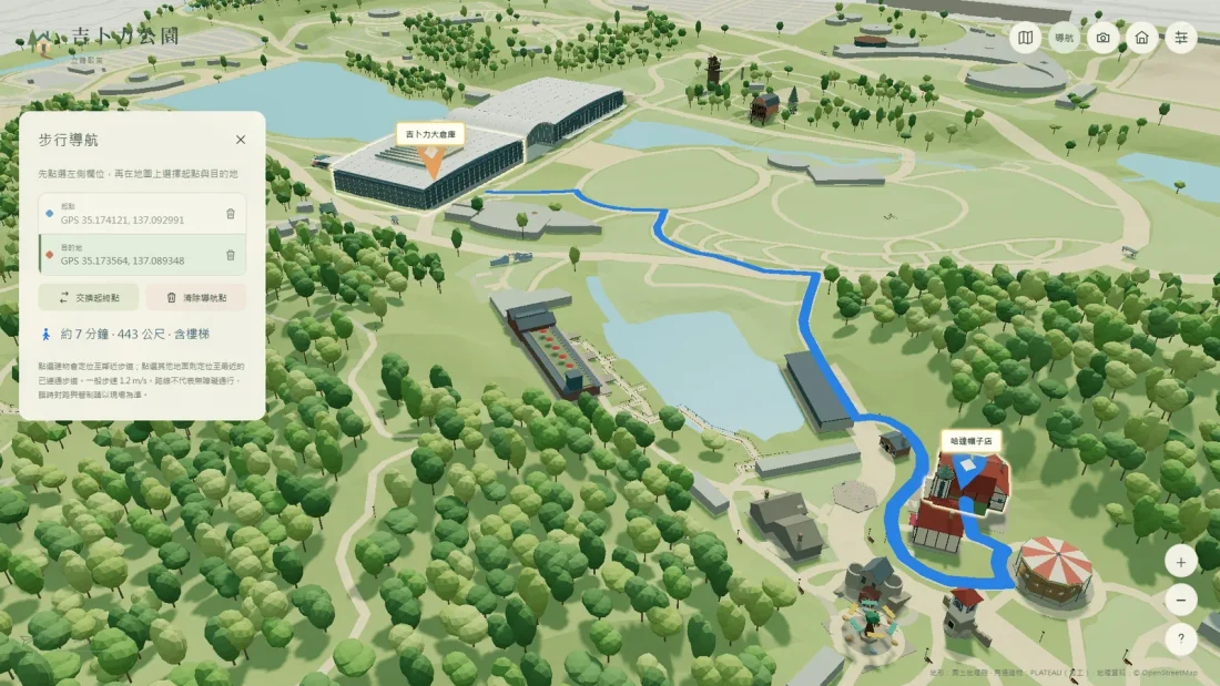
From facilities to a walking route
The facilities panel helps locate services and landmarks. Select a start and destination to see a blue walking route, distance, and estimated time. This is an unofficial personal study.
Interactive
Explore the 3D park
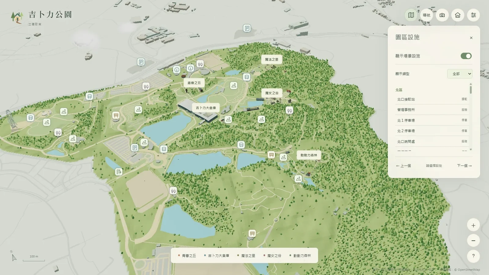
Design and production
This non-commercial study uses publicly available material to explore AI reconstruction of terrain, vegetation, roads and buildings, navigation and 3D modeling. Rights belong to their respective owners.
Design details and outcome
The workflow used AI agents to analyze Japanese geospatial survey data and reconstruct GIS foundations, then curated public references for development and reviewed visual quality and interaction flow. The result is a fully interactive prototype.
Design and outcome
Visitors can rotate, pan and zoom, navigate five areas, inspect facilities and display routes between selected points. Reconstructions include Howl’s Moving Castle and the animated Dondoko Forest funicular; models approximate photographic and geographic references.